

Sacramento County, CA
About Sacramento County
Sacramento County Profile:
Sacramento County took its name from the Sacramento River (originally called Rio de Los Sacramentos), which was named by Spanish explorer Gabriel Moraga. The county is located in northern California surrounded by 8 other counties including El Dorado and Placer counties. Sacramento County has about 30 parks, 6 million trees (about 4 trees per person), and 4 public golf courses. It is also home to 19 public and private colleges and universities, 15 major art and history museums, and 10 hospitals.
Governance and Politics:
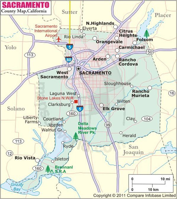
The Sacramento County seat is located in the city of Sacramento which is also the State Capital. While the county tends to vote more Democratic than Republican, the county is still competitive during presidential elections.
Location and Geography:
Sacramento County has a total area of 964.64 square miles. Most of the county is at an elevation close to sea level with the highest point only 828 feet above sea level. The county extends from the low delta lands of the Sacramento and San Joaquin Rivers to about 10 miles north of the State Capitol, east to the foothills of the Sierra Nevada Mountains and Southwest into the San Francisco Bay.
Cities, towns, and unincorporated areas in Sacramento County:
Sacramento County is home to seven cities:
- Sacramento
- Folsom
- Isleton
- Galt
- Citrus Heights
- Elk Grove
- Rancho Cordova
Census Designated Places (CDP) & Unincorporated Communities:
CDPs: Antelope, Arden Arcade, Carmichael, Clay, Courtland, Elverta, Fair Oaks, Florin, Foothill Farms, Franklin, Freeport, Fruitridge Pocket, Gold River, Herald, Hood, La Riviera, Lemon Hill, Mather, McClellan Park, North Highlands, Orangevale, Parkway, Rancho Murieta, Rio Linda, Rosemont, Vineyard, Walnut Grove, and Wilton
Unincorporated Communities: Locke
The history of Sacramento County:
Sacramento County is one of California’s original counties which were formed at the time of statehood in 1850 with the city of Sacramento becoming the State’s capital in 1854.
After gold was discovered in 1848, Sacramento became a destination for miners and gold seekers drawing a mass migration to the area. During the gold rush era, the city of Sacramento was the epicenter of commerce, agriculture, and supply distribution. In 1869 the transcontinental railroad began in Sacramento and joined the Pacific Line in Utah thereby linking Sacramento with the rest of the United States. Like the rest of the country, communication lines began opening up with the arrival of the pony express and telegraph.
Within a few decades, automobiles became commonplace and the infrastructure of the county changed to fit the changing technology with construction of roads and bridges. In 1935, the Tower Bridge officially opened as a primary pathway across the Sacramento River making it the first vertical lift bridge in the state of California.
Sacramento County is also home to the Sacramento County Airport System that include Sacramento International Airport, Mather Airport, and Executive Airport. Sacramento’s aviation history dates back to the end of World War I when the area held an airfield and pilot training school, and saw the construction of bi-wing airplanes. When the war ended, many of these planes were converted to civilian use and the foundation of the Sacramento County Airport System was laid.
Demographics:
Sacramento County’s population is approximately 1,482,026 in 2014 about 3.82% of California’s total population. There are about 1,536.35 people per square mile in Sacramento County.
Income & Affluence:
The median household income in Sacramento County is $55,064 which slightly less than the California median income of $61,094 but above the median income for the country.
Housing and Real Estate:
According to the census bureau, there were over 517,000 housing units in Sacramento County in 2013 with a median home value of owner occupied units from 2009-2013 at $234,200. The homeownership rate is around 56.7%.